Mapping Ground Improvement
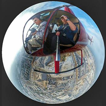
GEO used a helicopter and a GPS enabled camera to gather point cloud data for 3D monitoring of ground improvement work. The mapping successfully captured surface settlements induced by deep dynamic compaction and surcharging.
More recently, the mapping process is performed more efficiently by drones.
