Geobotica NanoRadar
Geobotica NanoRadar is a smart radar device for monitoring deformation of rock or soil surfaces. Datasheet
Geobotica NanoRadar
The Geobotica NanoRadar is a compact smart radar device for monitoring deformation in rock or soil surfaces.
Originally designed to detect and warn of rock movements in underground mines, the NanoRadar has proved useful for monitoring rates of deformation in tailings embankments.
Real-Time Monitoring
The NanoRadar can scan every two minutes and provide local alarms based on preset thresholds. Its built-in communications module transmits data to local networks and can be relayed to the internet.
RockD Filtering
The Rock Dectector Algorithm (RockD)
removes pixels that represent humans and machinery and retains only the pixels that represent rock or other solid objects. This minimizes false triggering of alarms.
Easy Analysis
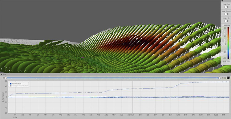
GeoPoint sofware can display heatmaps that highlight movements. Warmer colors signify larger displacements and green colors signify stability. Trend plots of displacement vs time are created by clicking points on the map.
Flexible Deployment
The NanoRadar is self-powered and weatherproof. It operates autonomously, can be relocated easily, and automatically starts monitoring when it is stable. For long term deployment and frequent reporting, it can be powered by solar-charged external batteries.
Specifications
Radar Range: 262 feet.
Scan Width: 420 foot strike length.
Scan Height: 40°
Scan Sphere: 2.5° wide x 1.3 ft deep.
Scan Duration: 30 sec to 1 hr.
Communications: Low Power WiFi.

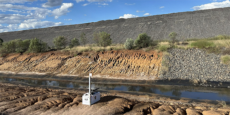
Thirteen NanoRadar units, spaced approximately 400 feet apart, were deployed to monitor this tailings embankment. Measurements were transmitted to a Starlink WiFi network and relayed to a project website.

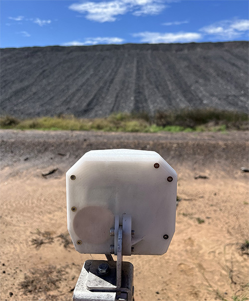
The self-powered, weatherproof NanoRadar is easily relocated.

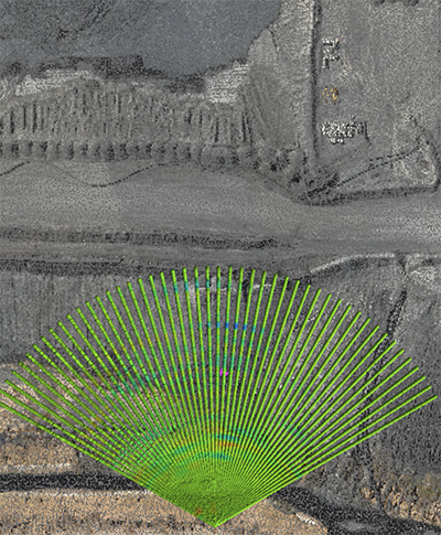
NanoRadar has a range of 262 feet with a 420 foot field of view.

Heatmapped images can be zoomed, panned, and rotated to inspect areas of concern. Trend plots of displacement vs time are created by clicking points on the map. Flat trends indicate stability. Steeper trends indicate acceleration of displacements.
Images are courtesy of Queensland Tailings Group. Geobotica specializes in sensing solutions that use Radar, LiDAR, Computer Vision, AI and Machine Learning and is a long-term partner of GEO-Instruments.
