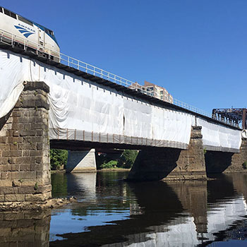
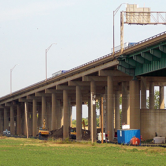
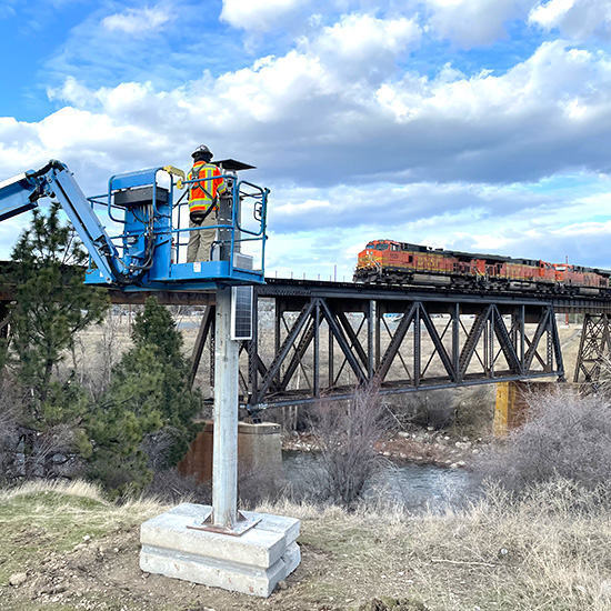
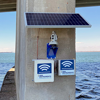
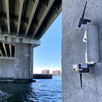
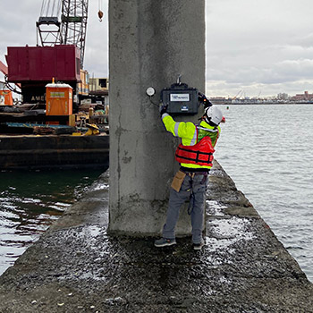
GEO monitors bridge piers, abutments, approach embankments, and superstructures during construction, repair, and replacement. Datasheet
Bridge Piers & Abutments
Piers and abutments transfer loads from the superstructure to the foundation. Abutments also retain the approach embankments. Monitoring parameters include:
Displacement: Vertical and lateral movement of piers can be monitored with AMTS systems. GNNS sensors can provide backup if fog interrupts sight-lines.
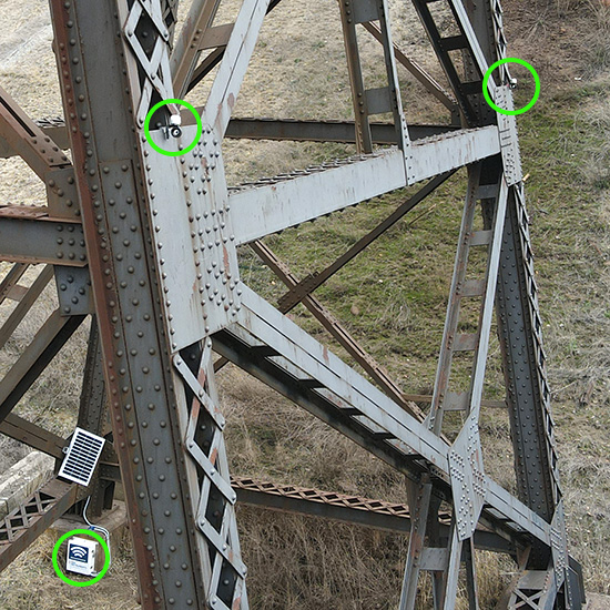
Tilt: Changes in tilt can be monitored with tiltmeters installed on pier faces. Laser- tilt sensors can monitor relative changes in distance between two piers, indicating displacement or rotation.
Vibration: Vibrations from construction activities can be monitored for exceedances with vibration monitors. Geophones are installed directly onto the piers.
Deformation: Cracks in concrete piers or movement at joints in stone piers and abutments can be monitored with crackmeters.
Bridge Approach Embankments
Approach embankments provide the transition from the bridge deck to the adjacent roadway or railway. Monitoring parameters include:
Settlement: During construction of the embankment, settlement of foundation soil can be monitored with settlement plates or settlement cells.
Settlement of tracks or roads supported by finished embankments can be monitored with AMTS and rail prisms or road prisms. In critical applications, long horizontal shape arrays can also be deployed along the tracks or under the road surface.
Lateral deformation: Lateral deformation can be monitored with inclinometers or shape arrays. Both of these instruments require vertical boreholes.
Deformation of retaining walls that support the embankment or abutments can be monitored by AMTS or tiltmeters.
Automated Monitoring
Wireless Data Acquisition
Self-powered loggers transmit measurements from AMTS systems, vibration monitors, shape arrays, tiltmeters, and other sensors to the internet.
Web-Based Data Management
Secure GeoCloud servers on the internet process incoming measurements, check for alarms, update project databases, and automatically update status views, plots, and reports. Alerts are sent to users by text message or emails.
GeoCloud Project Websites
GeoCloud project websites provide easy access to data. Status views show sensors, current readings, and alarm status on CAD drawings, photos, or satellite images. Graph types include trend plots, inclinometer plots of cumulative change, dedicated vibration monitor plots, and more.
