GEO provides automated safety and performance monitoring for CCR pond closure projects, protecting workers, equipment, the environment, and the project timeline. Datasheet
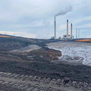
Coal Ash Pond Closures
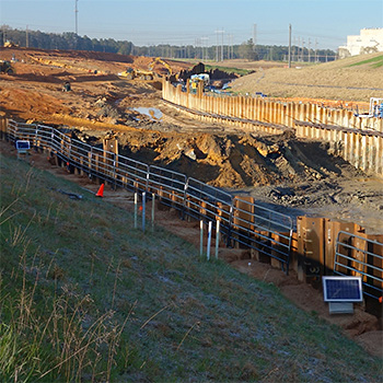
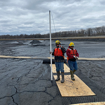
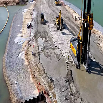
Pond closures involve dewatering, stabilizing, and capping of coal ash impoundments. The process varies from site to site, but may include dredging, excavating, transporting, mixing, and stacking of the coal combustion residuals (CCR).
The work requires heavy construction equipment, work platforms with adequate bearing strength, and careful attention to the risks of liquefaction and potential failure of containment structures and slopes.
Monitoring Requirements
Continuous Operation: The monitoring system should provide continuous operation because ash pond site conditions change daily and even hourly.
Safety Monitoring: The monitoring system should provide rapid detection of alarm conditions and quickly trigger on-site alarms. Alarms should also be sent to equipment operators and any other on-site personnel.
Performance Monitoring: The monitoring system should work with a wide range of sensors that can provide measurements for validating design assumptions, assisting with workflows, and identifying unwanted trends.
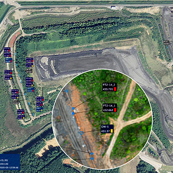
Graphical Presentation: The monitoring system should present data graphically on a secure website that is easily accessed and always up to date.
Safety Monitoring
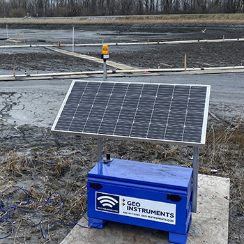
GEO-Instruments developed CabSafe specifically for safety monitoring at ash pond closure sites. Cabsafe is a rapid alert system used to detect alarm conditions and trigger on-site alarms.
CabSafe Loggers monitor vibrating wire piezometers, evaluate changes in pore-water pressure, and activate strobe and horn alarms. The loggers also report alarms by wireless modem.
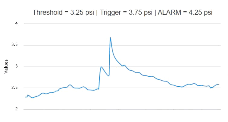
Spike in pore-water pressure in an ash pond caused by movement of heavy construction equipment.
CabSafe Mobile is an app for tablets and smartphones. It provides alerts for equipment operators who are not able to see or hear alarms from the loggers. Authorized users can acknowledge and turn off the logger alarms when no longer needed.
CabSafe loggers and apps are linked by a low-latency cloud connection. This provides nearly instant site-wide alerts from any number of loggers to any number of tablets and smart phones.
Performance Monitoring
GEO-Instruments developed GeoCloud to automate monitoring of a wide range of sensors and features wireless data acquisition, cloud-based data management, and website access to data, graphs, and alerts.
Water levels are monitored by vibrating wire piezometers installed in observation wells or pushed to shallow depths in saturated soils.
Rainfall and atmospheric pressure are measured by weather stations.
Lateral displacement of soil in ash pond containment structures, work platforms, cut slopes, and CCR stacks are monitored by shape arrays.
Deflections of sheet piles and other rigid structures are monitored by AMTS systems or tiltmeters.
Slope stability is monitored at depth by shape arrays and at the surface by AMTS and prisms.
Settlement of subgrades constructed for the final cover can be monitored with settlement sensors.
Vibration levels are monitored by vibration monitors using either standard or borehole geophones.

CabSafe logger looks for rapid rise in pore-water pressure, activates strobe and horn, and transmits alert data.
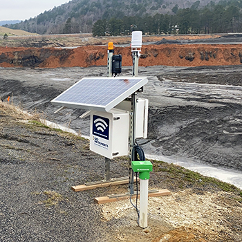
Wireless logger monitors weather station, shape array, and piezometers, and sends data to GeoCloud website.

GeoCloud website presents satellite views, plan views, graphs, and color coded alarms.
