Slope Stabilization

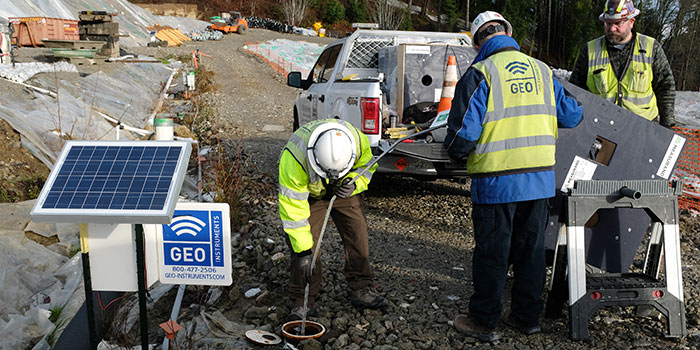
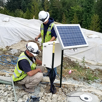
At this slope stabilization project, GEO installed twelve shape arrays at depths from 40 to 90 feet, eight vibrating wire piezometers, and monitoring equipment for dewatering pumps.

All of the solar-powered installations sent measurements to Geocloud servers by cell modem.


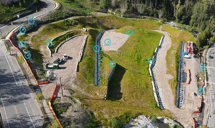
The drone photo at left shows the location of all 12 shape arrays. The site has been transformed. Monitoring will continue for another year.
