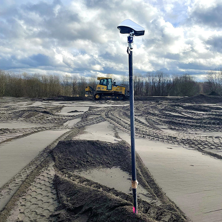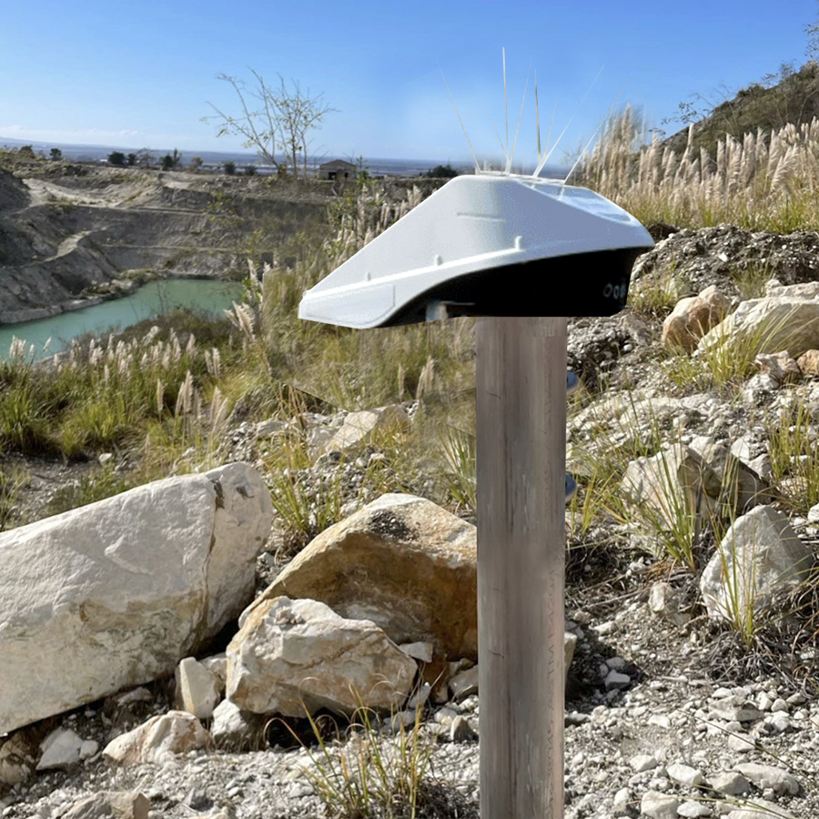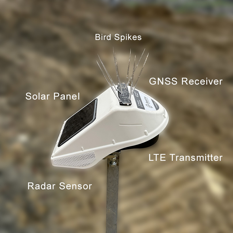
Locator One Applications
- Automating measurements of settlement plates.
- Monitoring slope stability at open pit mines, tailings dams, and highway cuts.
- Monitoring displacements of earth retention structures such as MSE walls or sheet pile walls.

Locator One Advantages
- High-precision 3-D measurements.
- Less equipment on site.
- No line-of sight or distance issues.
- Works in fog, rain, and snow.
- Customer installs possible.
- Compact and self-powered.
- Very little maintenance required.

