Merrimack Bridge

MassDOT rehabilitated the Merrimack River Bridge, strengthening the superstructure and mitigating scour around the bridge piers.
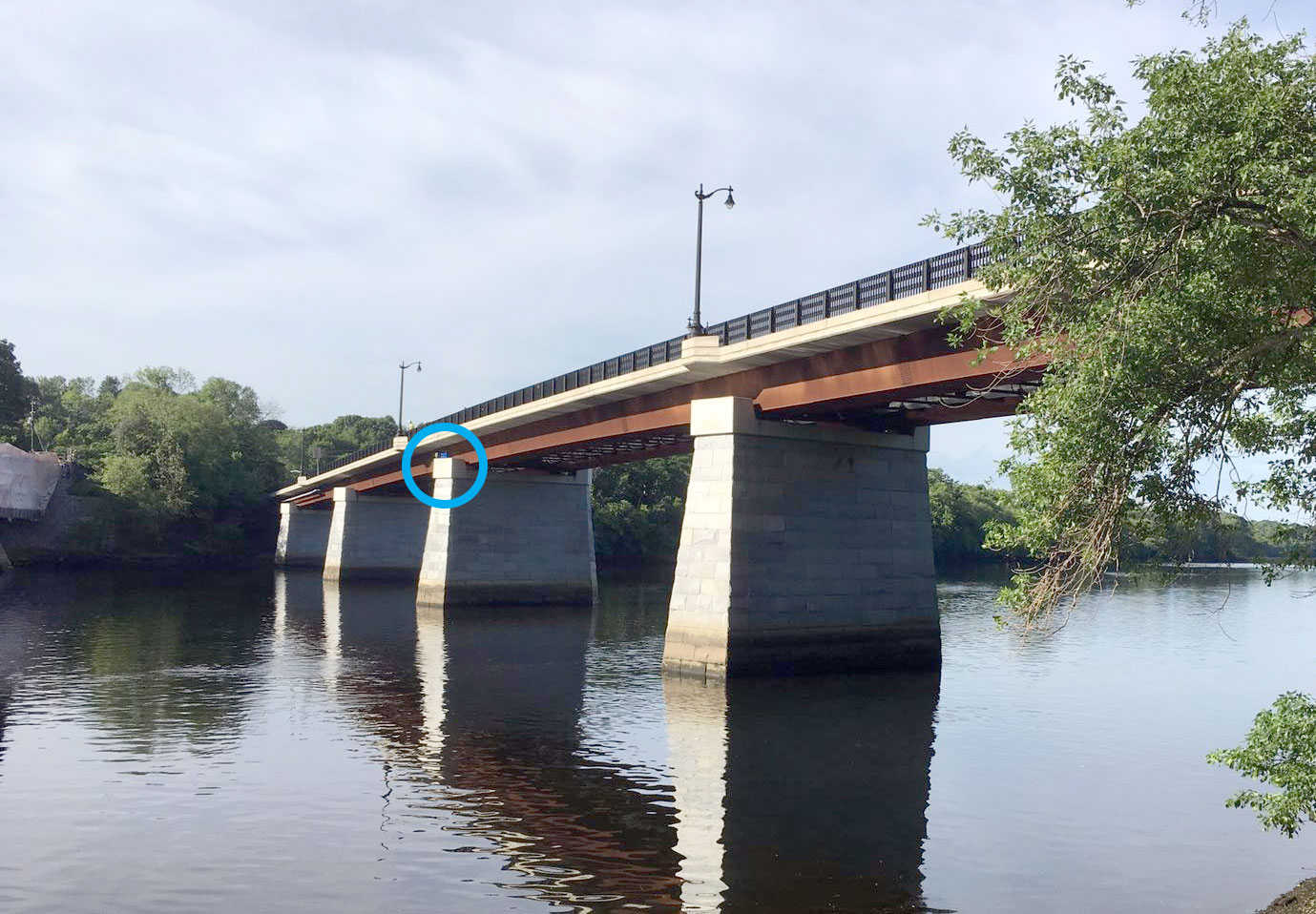
GEO placed an automated total station (AMTS) on the nearby Comeau bridge to monitor the stability of the piers of the Merrimack bridge.
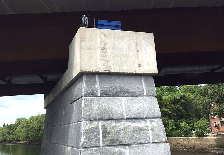
The AMTS measures angles and distances to prisms installed on the piers and transmitted the data to a GeoCloud website.

GEO technicians installed prisms and crackmeters on each pier, along with underwater hydrophones connected to automated vibration monitors. All instruments are powered by batteries and solar panels.
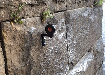
Prisms are used with the AMTS to monitor X, Y, and Z displacements. AVMs will monitor vibration levels during installation of sheet piles.
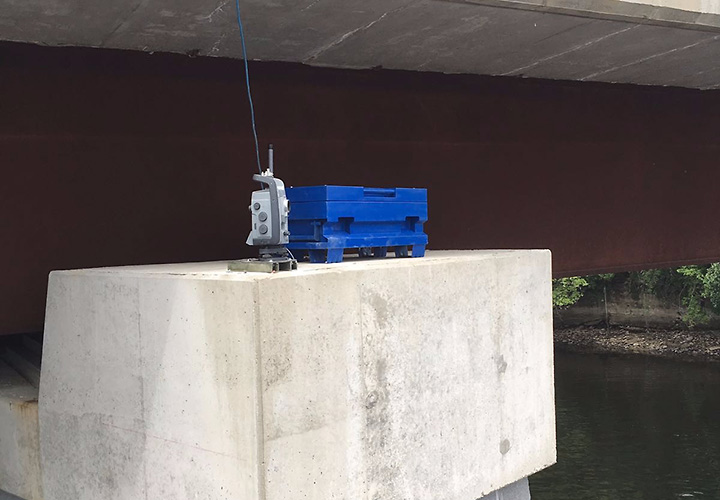
Another view of the AMTS on Comeau Bridge. The blue box houses a controller, power supply, batteries, and communications equipment.
